Drone surveying makes site planning and inventory management easy.
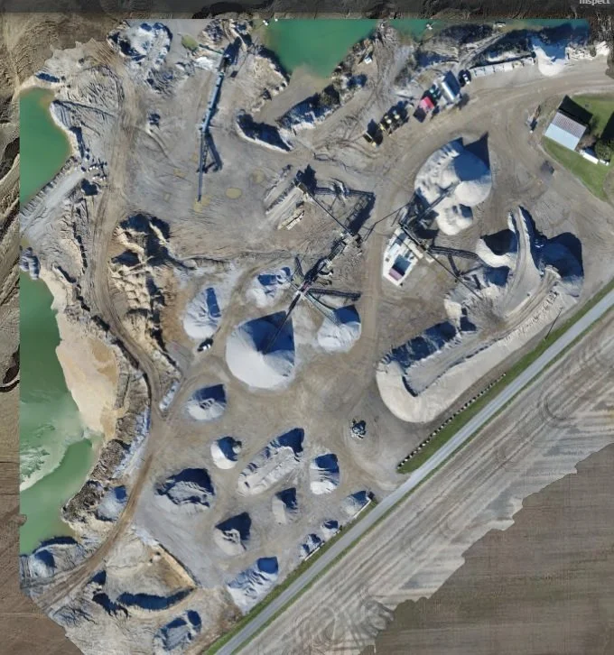
This 11 acre site map was made with over 650 individual photos stitched together to create one large picture that can be used for site planning or stock pile reporting. You can zoom in to view intricate details or just view from the overall picture. Size is of little concern, currently we can stitch together 1,000 individual photos to create one large photo of your site. If you are using our service for inventory management, then 20 acres is about our limit. If you are using our service for site planning then the sky is the limit, literally, we can go up to 350 feet and cover a lot of ground.
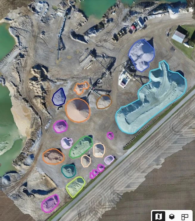
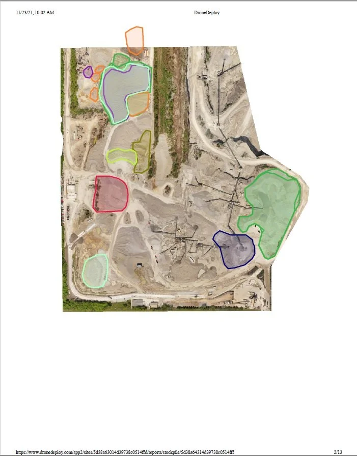
If inventory management is what you are after, all we have to do is define your stockpiles and we can generate a detailed volume report of your materials. But most of us are interested in tons not yards …. when you provide us with detailed density data we can automatically give you your inventory in cubic yards and tons. If you want to take this one step further, just include the value of your materials and we can also include stockpile cost / value in your report.


