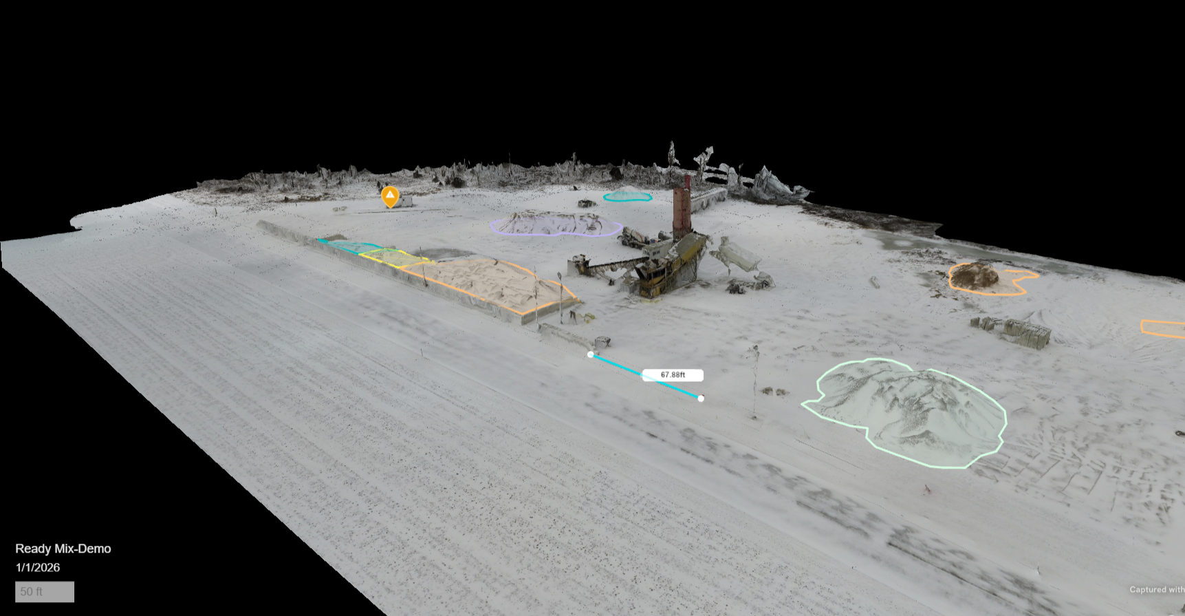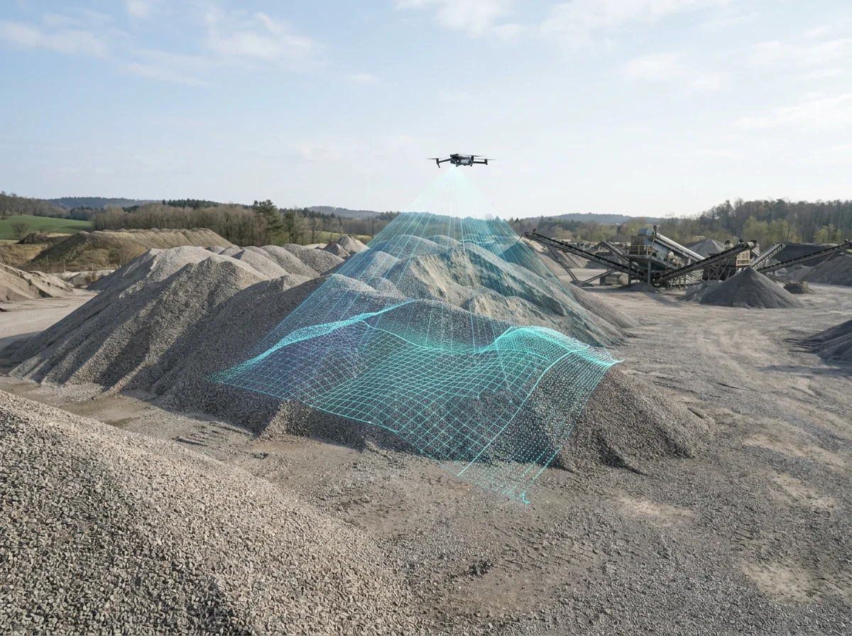
Precision Drone Surveying & Geospatial Solution.
Accurate data, better decisions, smarter operations.
Aggregate Automation provides professional drone surveying, stockpile measurements, volumetric reporting, and aerail mapping for aggregate, ready-mix concrete, asphalt and construction operations, serving Northwest Ohio, Southeast Michigan, and Northeast Indiana
Why Aggregate Automation?
Accurate measurements you can trust
Efficient reporting that saves time
Clear actionable data better decisions
Explore our Services
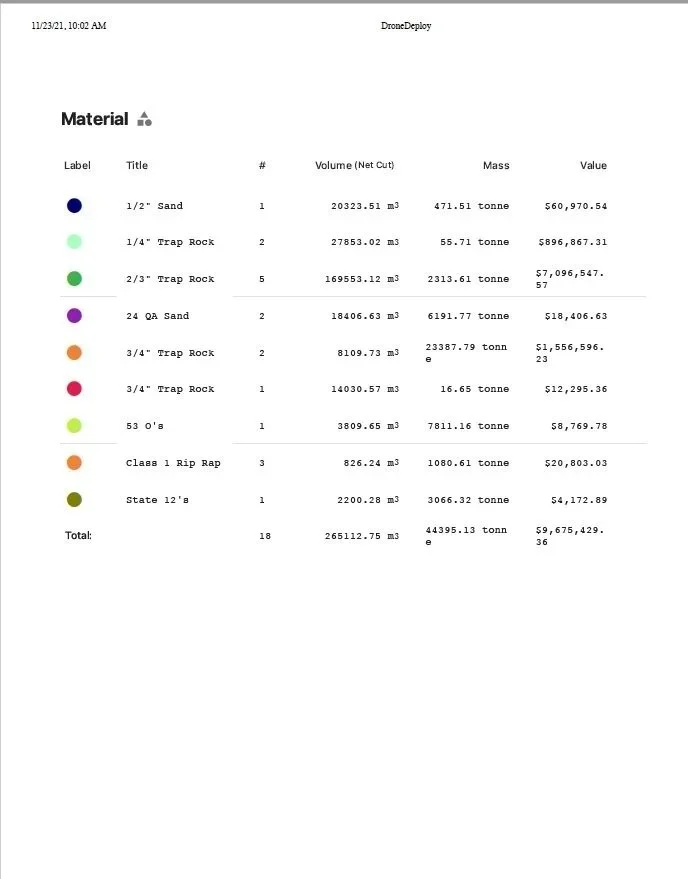
Stockpile Measurements & Volumetric Reporting
Accurate volume calculations to support your inventory and planning needs
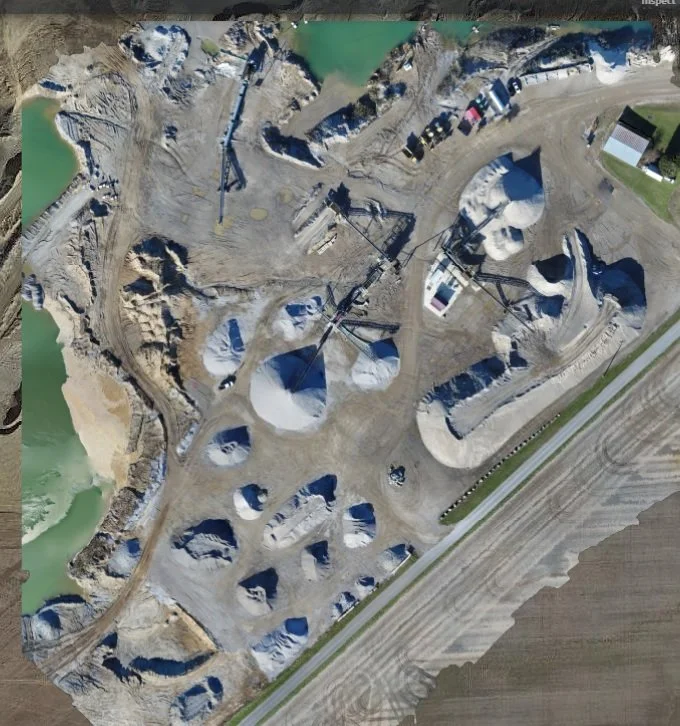
Aerial Mapping
High-resolution aerial imaging that gives you a clear, detailed view of your site.
Site Planning and Development
Actionable data to support site development, drainage decisions, and project planning.